1852 Andover, MA Map in Silver Frame
Item Number: 179
Time Left: CLOSED
Description
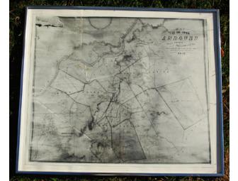
You are bidding on a framed copy of the 1852 map of Andover, MA. The map is a photographic copy of an original map detailing the residents, streets, geographic features, and districts, as surveyed by the town government. The framed map measures approximately 26" wide and 22" high.
Donated by
Norma Gammon