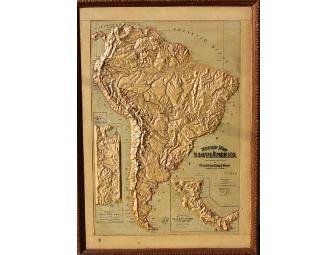
Large Antique Relief Map of South America, circa 1899
Item Number: 1063
Time Left: CLOSED
Description
We have an incredible set of antique relief maps from 1899, one is of South America, and the other of North America. This item is South America's map.
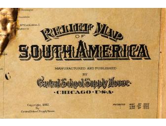
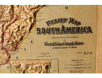
They were made by Central School Supply House, of Chicago, a well known globe and map maker in the late 1800's. The relief is high and bold, and major, and minor, cities, rivers, lakes, mountain ranges, and landmarks are indicated. Also indicated are the bay and inlet names. These maps are quite rare and hard to come by, and are a true collector's item.
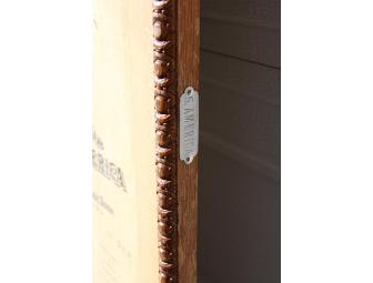
Both have their identical original wood frames and metal plaques, and measure 34" x 48".
They likely taught your Great Grandparents their geography lessons!
*The map of North America has some water damage, mostly on the back, and a repair. Please read that description if considering the set.
Special Instructions
Shipping is charged at actual cost, and added to the purchase price.