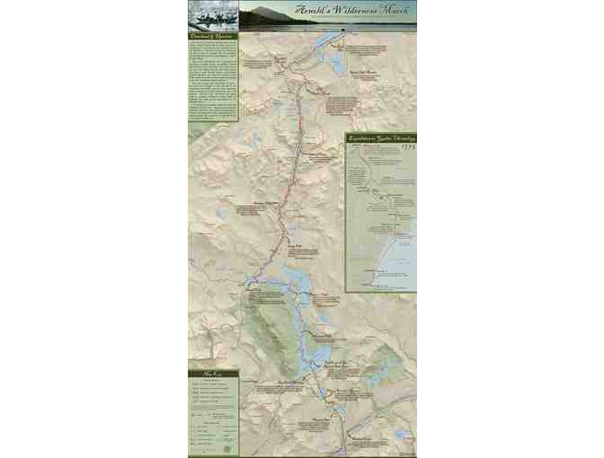
Map of Benedict Arnold's Wildernesss March Through the Northern Forest
Item Number: 278
Time Left: CLOSED
Description
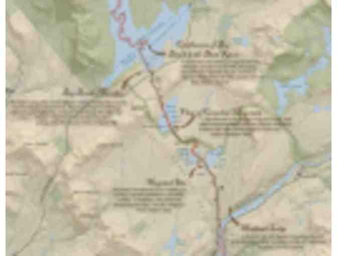
The Arnold Expedition's Route from Kennebec River, Maine to Lac Megantic, Quebec
In the fall of 1775, Colonel Benedict Arnold led a detachment of 1,100 American soldiers through the Maine and Canadian wilderness in what was intended to be a coordinated, secret attack on the British army fortified in Quebec City. This map and guide documents the grueling, 80-mile stretch of rivers, ponds and portages that the Arnold Expediation traversed between the Great Carrying Place of the Kennebec River and Lac Megantic at the start of the Chaudiere River.
Use this 18" x 36" map and guide (great as a poster too!) to visualize the hardships that the expedition faced and discover opportunities to follow in Arnold's footsteps and paddle strokes.
Special Instructions
Shipping: Ships from NFCT office.