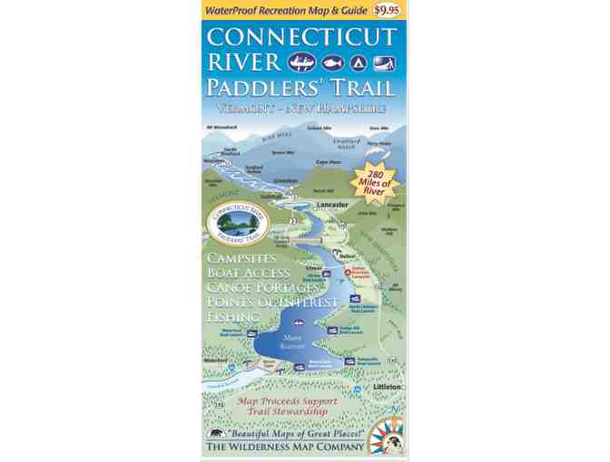
Connecticut River Paddlers Trail Map
Item Number: 291
Time Left: CLOSED
Description
This map covers the Connecticut river from its headwaters 280 miles south to the Massachusetts border, and includes all access points, campsites, portage trails, and information on the area natural and cultural history.
This section includes Section 7 of the Northern Forest Canoe Trail.
Special Instructions
Shipping: Map to ship from Northwoods Stewardship Center.
Donated by
Vermont River Conservancy