Lumbering Map - Map of Township 40/1900 and Map of the Adirondack Forest Preserve/1900
Item Number: 584
Time Left: CLOSED
Description
Straight from ADK's archives
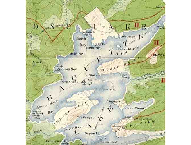
Map of Township 40. Totten & Crossfield Purchase. Hamilton County, N.Y. 1900. Compiled and drawn from U.S. Geological Survey Maps and Reconnoissance by H.S. Meekham. 21 1/2" width by 23" height.
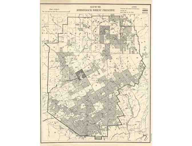
Map of the Adirondack Forest Preserve. Legend. Proposed Adirondack Park Boundary. Township 40. Lands owned by the State. 1900. 8 1/2" width by 11" height.
Donated by
Adirondack Mountain Club