Map of the Mt. Marcy Region/1920, NY State Conservation Dpt Circular -Trails to Marcy
Item Number: 585
Time Left: CLOSED
Description
Straight from ADK's archives:
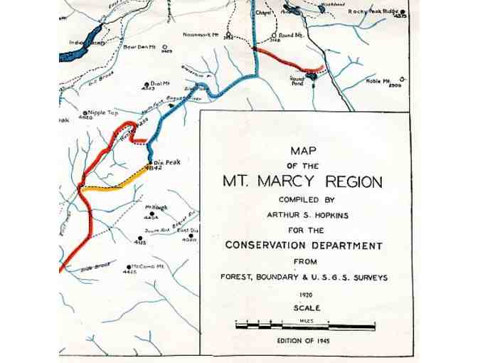
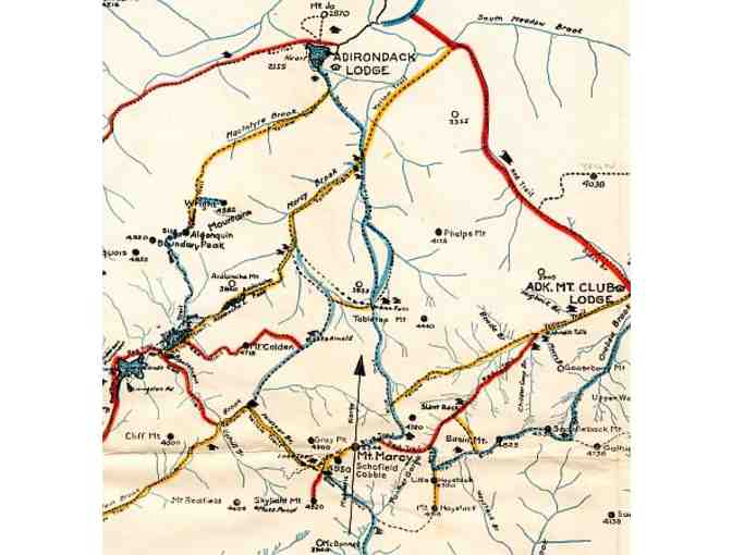
Map of the Mt. Marcy Region. Compiled by Arthur S. Hopkins for the Conservation Department from Forest, Boundary & U.S.G.S. Surveys. 1920. Edition of 1945. 26" width by 17" height.
New York State Conservation Department Hiking Guide - Trails to Marcy.
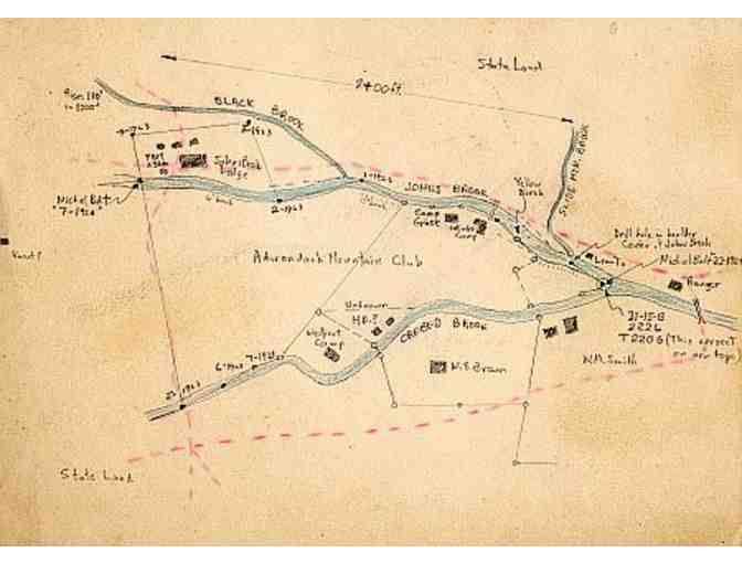
Hand sketched map of Adirondack Mountain Club Land outside of Keene Valley, NY.
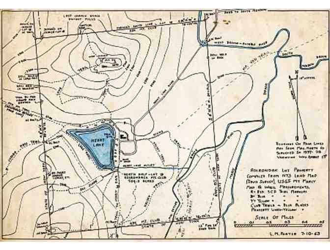
Adirondack Lot Compiled from New York State Land Map (Davis Survey). USGS Mt. Marcy Map & Wheel Measurements. L.M. Porter 7-10-63.
Donated by
Adirondack Mountain Club