Map of Lake George - 37" heighth by 17" width and more
Item Number: 586
Time Left: CLOSED
Description
Straight out of ADK's archives:
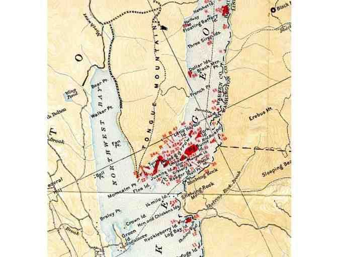
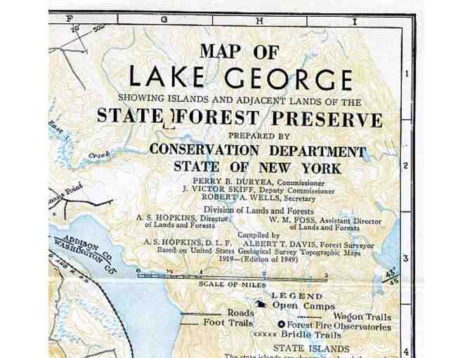
Map of Lake George Showing islands and adjacent lands of the State Forest Preserve.
Prepared by Conservation Department State of New York.
Based on United States Geological Survey Topographic Maps.
1919-(Edition of 1949)
37" height by 17" width
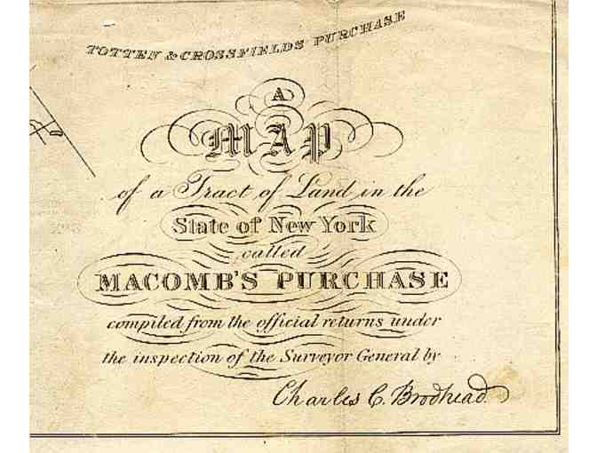
A Map of the Tract of Land in the State of New York called Macomb's Purchase compiled from the official returns under the inspection of the Survey General by Charles C. Broohead.
15" width by 13 1/2" height
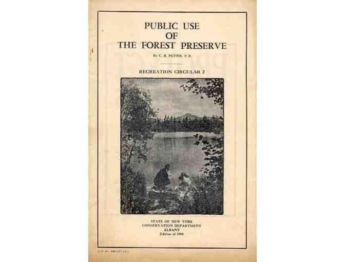
Public Use of the Forest Preserve by C.R. Pettis, F.E.
Recreation Circular 2
Published by the State of New York Conversation Department Albany
Edition of 1949
Donated by
Adirondack Mountain Club