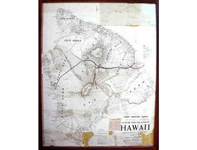
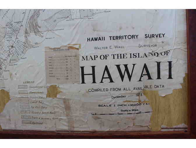
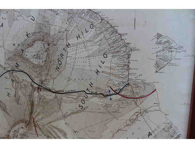
Large 1928 Map of Hawaii Island
Item Number: 323
Time Left: CLOSED
Description
This large map, measuring 58"x45" with its frame illustrates a proposed road crossing between Mauna Loa and Mauna Kea before Saddle Road was built. The map shows elevations and proposed lava barriers that officials hoped would protect Hilo. The map has been reconstructed on plywood with an `ohia frame.
Special Instructions
All antique and vintage products may have flaws and show age and wear and tear, because they are old and previously used and loved. This is part of their character and appeal.
Proceeds benefit Kona Historical Society, a 501c3 nonprofit. Winning bidder is responsible for Hawai`i State tax (4.166%). Due to the size and/or weight of this object, it is only available locally for pickup at a storage facility in Kailua Kona. As with all auctions, item is sold “as is” with no refunds available.