Adirondack Park Map
Item Number: 133
Time Left: CLOSED
Description
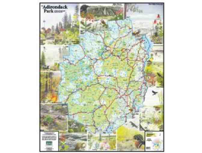
Laminated Adirondack Park Map (35" x 43") showing public and private lands, wilderness areas, mountains, rivers, towns and highways. The map is bordered by beautiful detailed watercolor illustrations by renowned Adirondack artist, the late Anne E. Lacy, depicting various habitat found in the Adirondacks: alpine meadow, river valley, marsh, bog, river, brook, hardwood forest, lake, and boreal forest.
This is the 2nd edition of the Adirondack Council's map. This version reflects the addition of almost 70,000 acres of public land since the first edition was released in 1994.