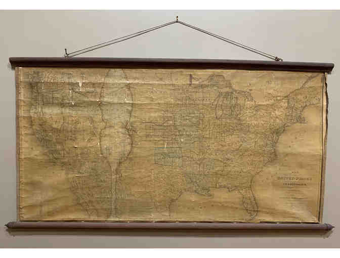
Antique Wall Map of the United States and Territories, 1870
Item Number: 236
Time Left: CLOSED
Description
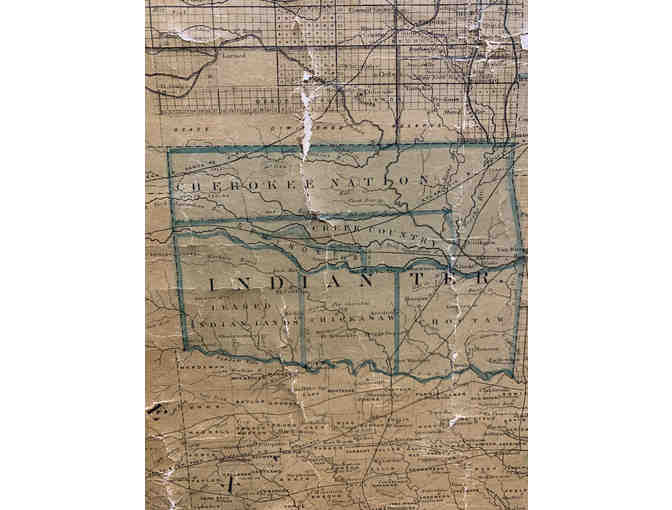
Incredible antique Map of the United States and Territories, 1870
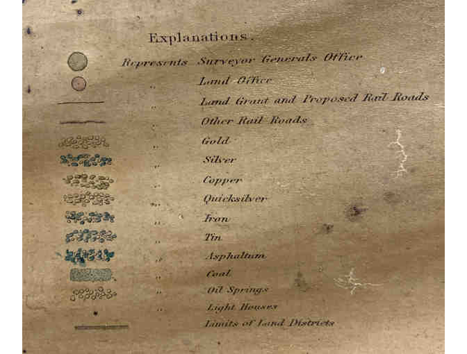
Showing the Extent of Public Surveys and Other Details, Constructed from the Platts and Official Sources of the General Land Office Under the Direction of the Hon. Jos. S Wilson
Shows locations of oil springs, gold, silver, and other metals
42" x 48", a few tears and wear
Special Instructions
Must be picked up at the Adirondack History Museum or added shipping charges