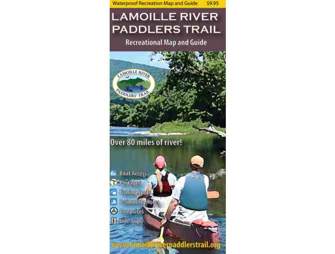
Lamoille Paddlers Trail Map
Item Number: 270
Time Left: CLOSED
Description
This waterproof map guides paddlers, anglers, and river enthusiasts along 85 miles of Vermont’s picturesque Lamoille River, one of the finest paddling and angling rivers in the state. It also highlights the recreational opportunities throughout the river valley.
Unique design details include:
-
Waterproof, eight panel, two sided map covering 85 river miles
-
All river based recreational facilities (Access points, primitive campsites, campgrounds, portage trails, outfitters, points of interest)
-
Other recreational opportunities (side hikes, bike paths)
-
Natural and cultural history insights
-
River mileages
-
Recommended river trips and their durations
Developed by the White River Partnership and a grant from the Vermont Recreation Trails Program. Cartography by Noah Pollock. Copyright 2019.
Special Instructions
Item will ship froom NFCT office.
Donated by
Vermont River Conservancy