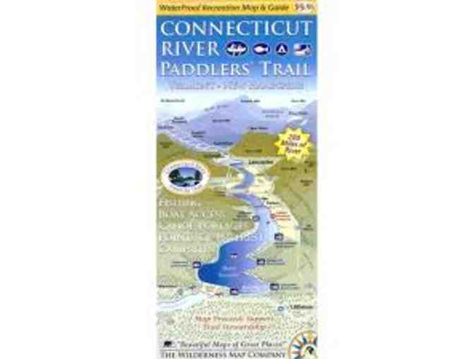
Connecticut River Paddlers' Trail Map
Item Number: 271
Time Left: CLOSED
Description
This map covers the Connecticut River from its headwaters and 280 miles south to the Massachusetts border. Includes all access points, campsites, portage trails, and information on the area natural and cultural history.
- Waterproof, ten panel, two sided map covering 280 river miles
- All river based recreational facilities (Access points, primitive campsites, campgrounds, portage trails, points of interest)
- Businesses of interest to visitors (outfitters, lodging establishments, convenience stores)
- Other recreational opportunities (side hikes, bike routes and paths, museums and cultural attractions)
- Natural and cultural history insights
- River mileages for access points and campsites
- Recommended river trips and their durations
Developed by the NorthWoods Stewardship Center, the Vermont River Conservancy, and the Vermont Department of Forest Parks and Recreation.
Special Instructions
Item will ship froom NFCT office.
Donated by
Vermont River Conservancy