CT River Paddlers Trail Map Combo (VT/NH and MA/CT)
Item Number: 182
Time Left: CLOSED
Description
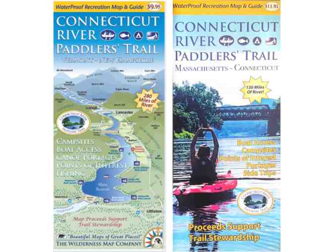
Connecticut River Paddlers’ Trail Map – Massachusetts and Connecticut
Newly created for the 2023 paddling season, the Connecticut River Paddlers’ Trail MA and CT Map and Guide is ready for all of your river adventures!
This waterproof recreation map and guide covers the river from the VT/NH/MA border south for 133 miles, to the Long Island Sound. It includes all access points, campsites, portage trails, and information on natural and cultural history.
Connecticut River Paddlers’ Trail Map – Vermont & New Hampshire
The Wilderness Map Company’s 2017 WaterProof Recreation Map and Guide is a complete and river-ready resource for your river adventures. This map covers the river from its headwaters south for 280 miles to the Massachusetts border, and includes all access points, campsites, portage trails, and information on natural and cultural history.
Special Instructions
NFCT will ship to winning bidder.