1880 Map of Barnstable County, Mass., Cape Cod (FRAMED REPRINT)
Item Number: 115
Time Left: CLOSED
Description
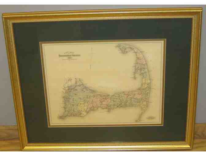
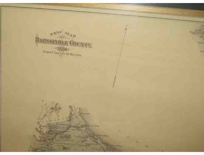
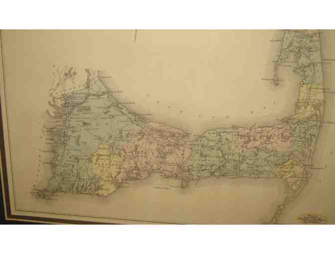
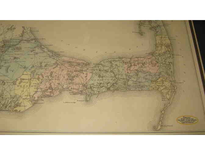
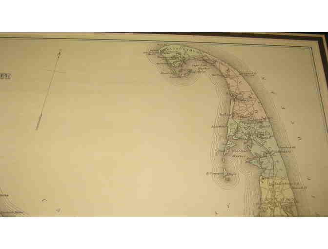
This is a framed reprint of the general map of Barnstable County, Massachusetts, that appeared in the 1880 Atlas of Barnstable County. Includes the towns of Sandwich, Falmouth, Mashpee, Barnstable, Yarmouth, Brewster, Harwich, Chatham, Monomoy, Orleans, Eastham, Wellfleet, Truro, and Provincetown. In other words: Cape Cod. The reprint was designed by Adam Gamble of On Cape Publications and was copyrighted in 1998. The map measures 11 x 14 inches. It is double matted and placed in a golden frame with a finished measurement of 18 x 21.5 inches. Has a wire for hanging, and bumpers on the bottom two corners. A lovely addition to the decor of any Cape Cod cottage ... or to any room that pays homage to and reminiscence of the Cape.
Special Instructions
Shipping and handling charges will be added to the winning bid. Mailing will be done from the Shop at Walden Pond.