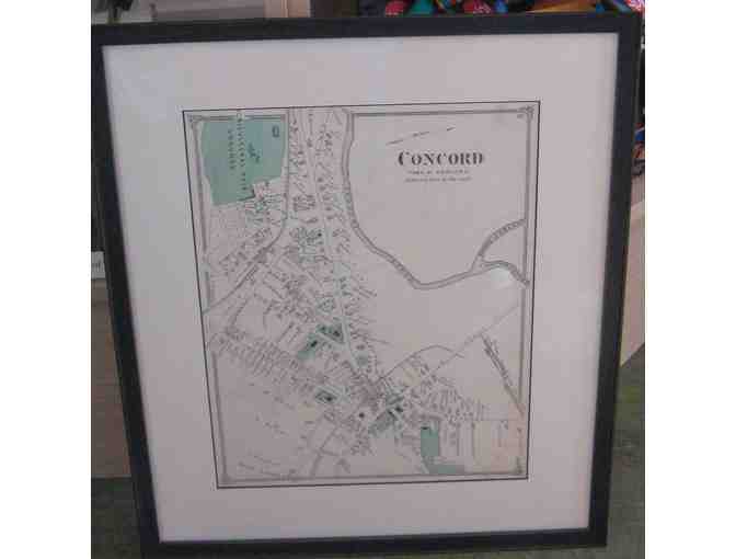
1875 Beers Atlas Map of Concord, Mass. (original page, framed, with marks)
Item Number: 145
Time Left: CLOSED
Description
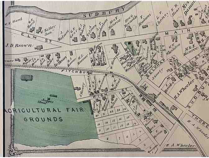
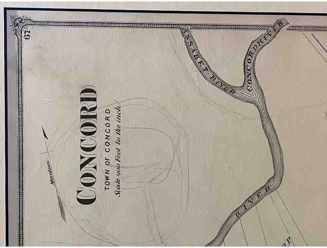
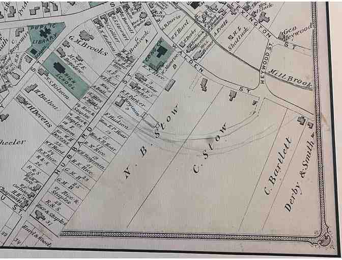
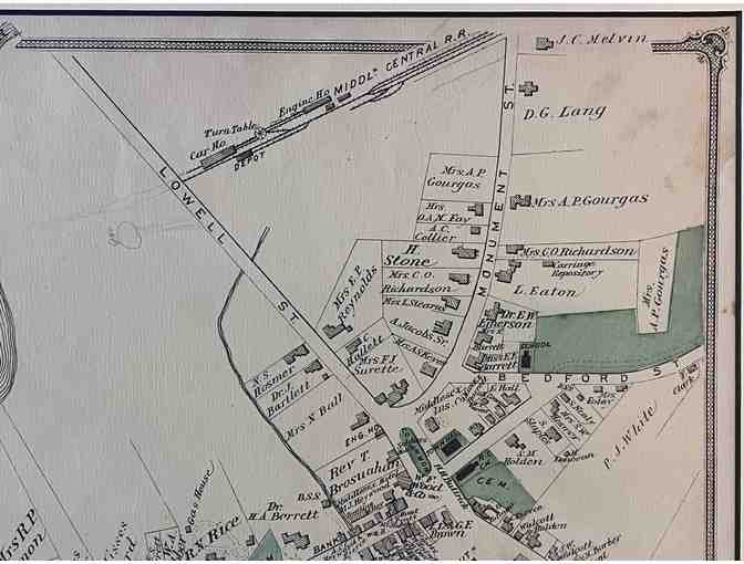
Map of the center of Concord, Massachusetts. From the County Atlas of Middlesex, Massachusetts. From actual surveys by and under the direction of F. W. Beers. J. B. Beers, 1875. This appears to be an original page from the atlas, taken from the book. The map has a few age marks on it. It is professionally matted and framed. The map measures about 11.5 x 14.5 inches. The finished frame measures about 17.5 x 20.5 inches. PLEASE NOTE: Before the page was matted and framed, someone used a pencil to sketch in additional roads and to change a few names of existing roads. Look closely at the photos before you decide to bid.
Special Instructions
Shipping and handling charges will be added to the winning bid. Mailing will be done from the Shop at Walden Pond.