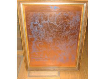
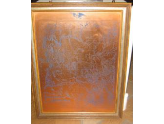
Picture - Copper Etched Territory Map of Arizona, dated 1880
Item Number: 235
Time Left: CLOSED
Description
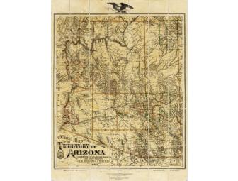
AUTHOR Eckoff, E. A. NOTES 1) Shows county borders, mining districts, Indian reservations, and U.S. military telegraph. ADD AUTHOR 1) Riecker, Paul. DYNIX # 534544
TITLE Official map of the Territory of Arizona : 1880 / compiled frrom surveys, reconnaissances and other sources by E.A. Eckoff and P. Riecker, civil engineers.
PUBLISHER New York : Graphic Photo-Lith., 1880, c1879.
DESCRIPT 1 map : hand col. ; 81 x 67 cm.
2) Map is divided into 35 panels mounted on canvas. A seamless digital file is available.
LIBRARY: SHARLOT HALL MUSEUM ARCHIVES -- MAP COLLECTION
CALL NUMBER: MAP #792
Special Instructions
Framed Picture, etched in copper.
28 width x 37 high
Wood Frame
If you would like to see this item please email jackie_chs@hotmail.com